
Over the past decade, I’ve watched insurance assessments shift dramatically across Australian residential properties. It’s not just about premium increases, though those are real enough. The fundamental way insurers evaluate risk has changed, and homeowners in certain regions are discovering that their coverage options have narrowed considerably. What used to be a straightforward renewal process now involves detailed climate modelling, flood mapping updates, and sometimes outright refusals to renew policies.
The pattern is unmistakable when you look at claims data and underwriting decisions across different postcodes. Insurers are no longer treating weather events as occasional outliers. They’re treating them as predictable patterns, and that distinction matters enormously for how much you’ll pay and whether you can get coverage at all.
The Data Behind Premium Shifts
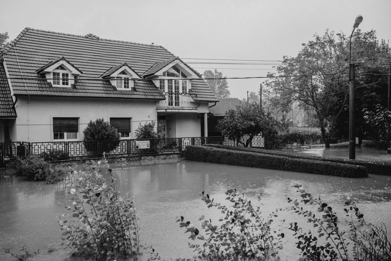
Insurance companies operate on historical data, but they’re increasingly supplementing that with climate projections. When a property has experienced flooding once, it used to be filed away as a one-off event. Now, insurers cross-reference that location against rainfall intensity forecasts, sea-level rise models, and fire weather indices. A house in a flood-prone suburb that had one significant flood event five years ago might now be considered high-risk for the next ten years, even if no flooding occurs.
I’ve seen premiums double or triple for properties in certain postcodes, particularly around Sydney’s western suburbs, parts of Brisbane, and coastal areas from Melbourne to Perth. The increases aren’t uniform or gradual. They tend to happen in clusters after significant weather events. A major flood or bushfire in a region triggers a reassessment of the entire area, and properties that weren’t directly affected still see their premiums jump because the risk profile of the locality has changed in the insurer’s eyes.
What’s less visible is the exclusion creep. Coverage for specific perils gets narrowed. Flood exclusions expand. Some insurers now exclude damage from “weather events exceeding certain intensity thresholds,” which sounds technical but effectively means they won’t cover losses from the kind of extreme weather that’s becoming more common. A homeowner might keep their policy, but the protection it actually provides has shrunk.
Availability Gaps in High-Risk Areas
The more pressing issue than premium increases is simply finding coverage. In some Australian postcodes, particularly those with recent flood or fire history, the number of insurers willing to underwrite residential properties has contracted noticeably. Where there used to be eight or ten options, there are now three or four. In the worst cases, only one or two insurers will touch the property at all.
This creates a cascading problem. When competition narrows, prices rise further because there’s no market pressure to keep them down. Homeowners in these areas often end up with the insurer of last resort, paying premium rates for basic coverage. Some properties become uninsurable in the private market altogether, leaving owners to rely on government-backed schemes like the Insurance Council’s RACL arrangements, which are meant to be temporary solutions but have become semi-permanent for certain postcodes.
I’ve worked with several homeowners who discovered their insurer simply wouldn’t renew their policy after a flood event, even though the damage was repairable and the property was otherwise sound. The insurer’s reasoning was straightforward: the location now carried unacceptable risk according to their updated models. These owners had to scramble to find alternative coverage, often at much higher cost, and some found themselves locked out of the market entirely.
How Climate Modelling Changes the Equation
The shift from historical claims data to predictive climate modelling is the real turning point. Historically, insurers looked at what had happened. Now they’re looking at what’s likely to happen based on rainfall projections, temperature trends, and extreme weather frequency. This is more accurate in many ways, but it’s also more punitive for properties in areas where climate models predict increased risk, even if that risk hasn’t fully materialised yet.
A property might have a clean claims history, but if it sits in a postcode where rainfall intensity is projected to increase by 15% over the next decade, or where fire weather days are expected to rise, the insurer treats it as if that risk already exists. The property hasn’t experienced the problem yet, but the model says it will, so the premium reflects future risk rather than past experience.
This approach makes sense from an actuarial standpoint, but it creates real hardship for property owners who are being penalised for risks that haven’t occurred. A house in western Sydney that’s never flooded but sits in a catchment where rainfall is projected to intensify faces higher premiums than an identical house ten kilometres away in a postcode with better drainage and lower projected rainfall increases. The difference isn’t based on what’s happened; it’s based on what the models predict will happen.
The Bushfire Risk Reassessment
Bushfire risk assessment has become far more granular. Insurers now use detailed fire danger indices, vegetation mapping, and distance-from-forest calculations that would have been impractical a few years ago. A property that was considered standard risk because it was technically outside a bushfire-prone area might now be reclassified as high-risk based on updated vegetation data or new fire weather projections.
The Australian Bushfire Threat Index and similar tools have become central to underwriting decisions. These aren’t crude measurements. They account for fuel load, aspect, elevation, proximity to water sources, and local fire history. A house on a hillside in a semi-rural area might face a substantial premium increase even if it’s never been threatened by fire, simply because the model indicates elevated risk during extreme fire weather events.
What I’ve observed is that this reassessment often happens without much warning. A homeowner renews their policy for years at a stable rate, then suddenly the renewal comes through at 40% higher cost because the insurer has updated their risk mapping. There’s no incident that triggered it. The property hasn’t changed. The risk model has.
Coastal Properties and Sea-Level Considerations
Coastal properties face a different pressure. Sea-level rise projections are now factored into insurance assessments, particularly for properties within a few hundred metres of the shoreline. Storm surge risk, combined with projected sea-level rise over the next 20 to 30 years, means that a beachfront or near-coastal property might be considered progressively riskier even if storm surge has never been a problem historically.
Some insurers have introduced explicit distance-from-coast thresholds. Properties within 500 metres of the high-tide line face different underwriting criteria than those further inland. The logic is sound: as sea levels rise, the frequency and severity of coastal flooding increases. But for property owners who’ve owned their homes for decades without incident, the sudden reclassification as high-risk can feel arbitrary.
I’ve seen coastal properties in areas like the Gold Coast, Byron Bay, and parts of South Australia experience premium increases of 50% or more within a single renewal cycle, driven primarily by updated sea-level projections rather than any change in local flood history. The properties themselves haven’t become riskier. The projections of future risk have shifted.
The Coverage Gaps That Matter Most
Beyond premiums, the real problem is what’s no longer covered. Flood coverage exclusions are expanding. Some policies now exclude flood damage if the flood is deemed to result from “extreme weather events” or if rainfall exceeds certain thresholds. This is circular logic in a way: the policies are being rewritten to exclude the exact scenarios that are becoming more common.
Storm damage coverage is also tightening. Wind damage exclusions now often apply if wind speeds exceed certain levels during declared severe weather events. Again, this sounds technical, but it means that damage from the kind of severe storms that are becoming more frequent might not be covered because the event was classified as “extreme” by the insurer’s own criteria.
What homeowners often don’t realise until they lodge a claim is that their policy has evolved in ways that reduce actual protection. The premium might have increased, but the coverage has narrowed. It’s a double squeeze: paying more for less protection.
The reality is that Australian property insurance is in the middle of a fundamental repricing. Extreme weather isn’t just driving up costs; it’s reshaping what’s insurable and at what price. Properties in certain postcodes are becoming harder to insure, not because they’ve experienced more damage, but because climate models predict they will. For homeowners, this means staying informed about their coverage, understanding what’s actually excluded, and recognising that their insurance situation might change significantly at the next renewal, regardless of their claims history.