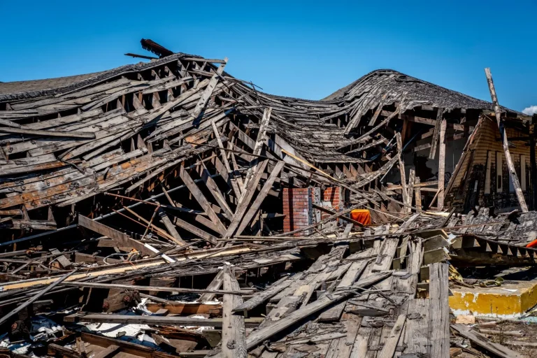

Over the past fifteen years, I’ve watched the pattern of flooding in Australian residential areas shift in ways that catch people off guard. It’s not just that we’re getting more rain in some places – it’s that the timing, intensity, and geographic spread of flood events have become less predictable. Homeowners who’ve lived in the same suburb for decades are now facing water damage scenarios they never encountered before. The relationship between climate change and flood risk isn’t abstract for them; it shows up in their basements, their yards, and their insurance premiums.
The reality on the ground is more nuanced than headlines suggest. A property that sat safely above the hundred-year flood line in 2005 may not have the same margin of safety today. This isn’t because the land has moved, but because the statistical models we’ve relied on – the ones based on historical rainfall and river behavior – are becoming less reliable. The climate is warming, atmospheric moisture is increasing, and the systems that produce extreme rainfall events are behaving differently than they did in the twentieth century.
What’s Actually Changing in Australian Weather Patterns
The most obvious shift is in the intensity of rainfall events. When storms do arrive, they tend to dump more water in shorter periods. I’ve seen properties in Queensland and New South Wales experience what used to be considered a fifty-year rainfall event twice in a single decade. This matters because drainage systems, whether natural or engineered, were designed based on historical data. A stormwater system built to handle the average heavy rain of the 1990s may be overwhelmed by the heavier downpours becoming common now.
What often gets overlooked is the change in seasonal timing. Spring flooding used to be relatively predictable in many regions. Now, intense rainfall can arrive outside those traditional windows. I’ve documented cases where autumn storms have caused more severe flooding than the spring events residents prepared for. This unpredictability makes it harder for people to know when they’re genuinely at risk and when they can relax their guard.
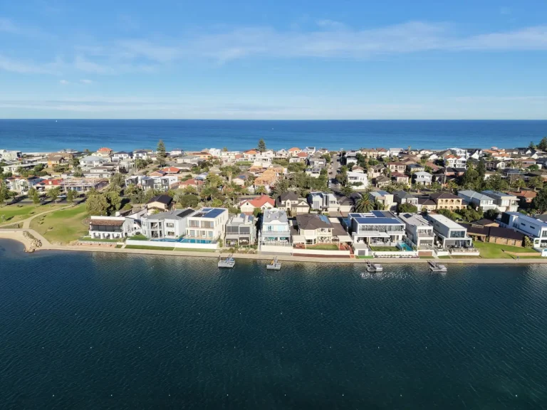
There’s also the matter of compound events. A region might experience prolonged wet conditions that saturate the soil, followed by an intense rainfall event. The ground can’t absorb water the way it normally would, so runoff increases dramatically. Coastal areas face an additional complication: rising sea levels mean that storm surge and high tides now push water further inland than historical records suggest they should. A property that was theoretically safe from a storm surge in 1980 may be vulnerable today, not because the storms are necessarily stronger, but because the baseline water level has risen.
How Flood Risk Assessment Is Becoming Unreliable
Local councils and insurance companies still rely heavily on flood maps based on historical data. These maps show which areas flooded in past events, and they’re used to determine building regulations, insurance rates, and property valuations. The problem is that historical data assumes the climate will remain relatively stable. When it doesn’t, these maps become outdated faster than they’re updated.
I’ve worked with homeowners in areas officially marked as low-risk who experienced significant flooding, while others in supposedly high-risk zones stayed dry. This isn’t random chance – it reflects the fact that local topography, drainage infrastructure, and upstream land-use changes can matter as much as regional climate patterns. A new subdivision upstream that removes vegetation and increases impervious surfaces can change how water moves through an entire catchment. A council that hasn’t maintained stormwater drains properly can turn a moderate rainfall into a localized disaster.
The gap between official risk assessments and actual vulnerability is widening. Properties in areas like parts of western Sydney, the Gold Coast hinterland, and inland Victoria are seeing flood risk increase faster than official documents reflect. Insurance companies are starting to price this in, but the lag between when risk actually changes and when it’s formally recognized can be years.
The Infrastructure Problem
Most Australian residential drainage and flood mitigation infrastructure was built between the 1960s and 1990s. It was designed to handle the climate conditions of that era. A stormwater pipe sized for a certain flow rate, a levee built to a particular height, or a detention basin designed for specific rainfall intensities – all of these become less adequate as the climate shifts.
Upgrading this infrastructure is expensive and slow. Councils face budget constraints, and replacing a stormwater system that still functions most of the time isn’t a political priority until a major flood event forces the issue. I’ve seen properties in well-maintained suburbs experience flooding because a single pipe or drain was undersized for the new reality. The infrastructure worked fine for decades, then suddenly didn’t.
Vegetation also plays a role that’s often underestimated. Urban sprawl and land clearing reduce the landscape’s natural capacity to absorb and slow down water. Forests and wetlands that historically acted as natural buffers are gone. In their place are roofs, roads, and compacted soil that shed water quickly. A catchment that once had time to absorb a heavy rainfall now experiences rapid runoff that overwhelms downstream systems.
What This Means for Individual Properties
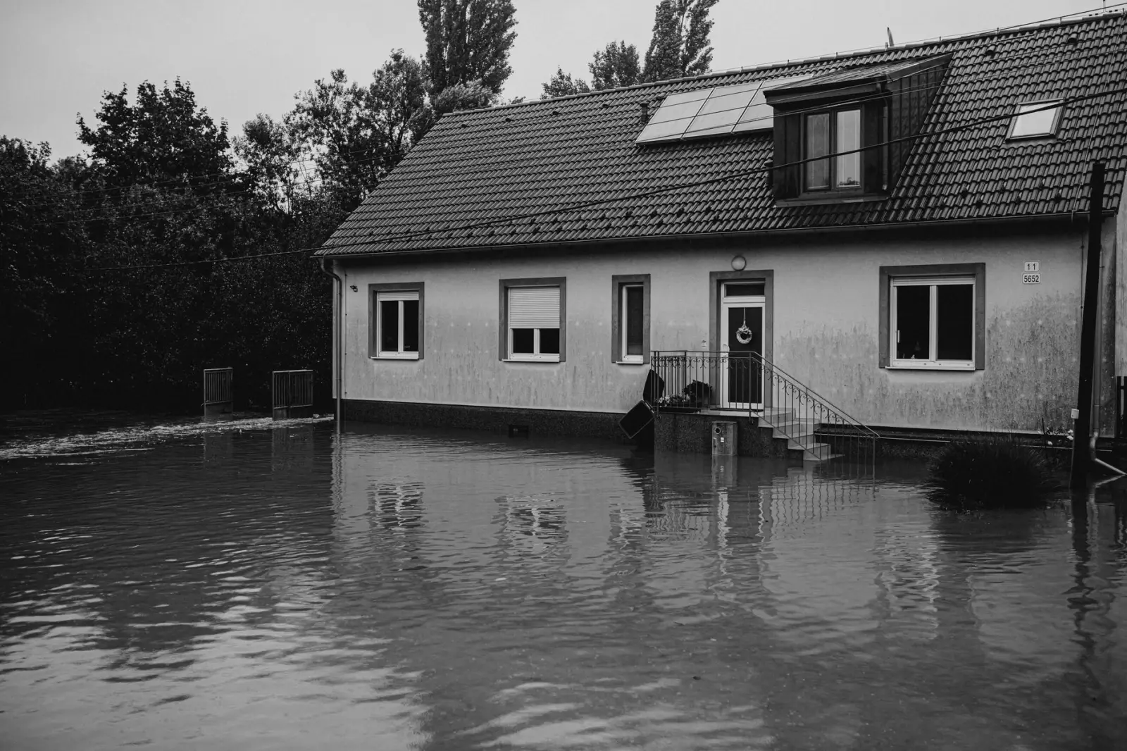
The practical consequence is that property-level flood risk is becoming harder to predict and easier to underestimate. A house that’s been dry through three generations of ownership can flood today. This doesn’t mean it was never at risk – it means the risk has changed in ways that historical experience doesn’t capture.
Homeowners in areas experiencing climate-driven flood risk increases face a genuine dilemma. Official flood maps may not reflect current conditions. Insurance premiums are rising in some areas faster than property values, making coverage increasingly expensive. Selling the property means disclosing flood risk to buyers, which affects resale value. Staying means living with the growing possibility of water damage and the costs of mitigation.
The most resilient approach I’ve observed involves treating flood risk as a dynamic issue rather than a static one. Properties in vulnerable areas benefit from regular assessment of local drainage, upstream development, and historical flood patterns specific to that neighborhood. Elevation of utilities, waterproofing of basements, and maintenance of gutters and downspouts become more critical when the climate is changing. Some homeowners are installing backflow preventers, improving grading around their properties, or even considering relocation – not because they’re panicking, but because they’re acknowledging that the risk profile has genuinely shifted.
The broader reality is that Australian residential flood risk is now a moving target. The climate is warmer, atmospheric moisture is higher, and extreme rainfall events are more intense. The infrastructure and risk assessments built for the old climate are becoming progressively less adequate. Properties that seemed safe a decade ago may not be. This isn’t a reason for paralysis, but it is a reason for honest assessment and practical preparation.